See what you've covered
Every objective and its measures against every condition, marked evidence, planned or gap, with suggested runs to close the gaps. Range safety is planned with every run.
Most drone threats on a range fly whatever route someone drew. Lyrebird Mission Software works the other way round.
Bring your framework. Critical operational issues and test objectives, research questions and hypotheses, requirements and acceptance criteria, or essential tasks with their conditions and standards. Lyrebird keeps your structure and your words, with your measures of effectiveness and performance underneath.
Every objective and its measures against every condition, marked evidence, planned or gap, with suggested runs to close the gaps. Range safety is planned with every run.
Plan here, fly from the ground control station you already use: missions export as files for ArduPilot and PX4 autopilots on any drone. We don’t supply a ground station. Routes show in TAK as an OPFOR and EXCON planning layer.
Each Lyrebird records exactly where it flew and when. That’s matched against what your people and your layered counter-UAS systems detected and engaged, and reported against each objective and measure.
Early access. Ask us about joining.
Real screens from Lyrebird Mission Software, filled with demo data.
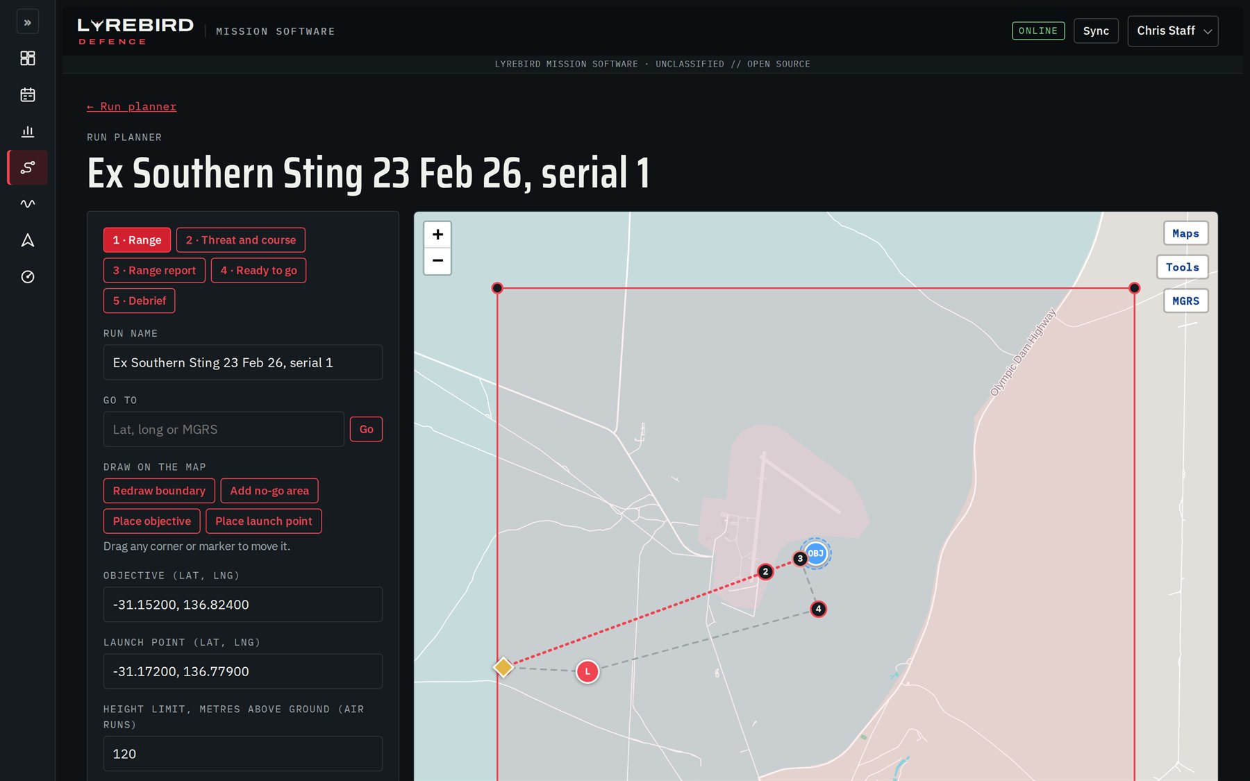
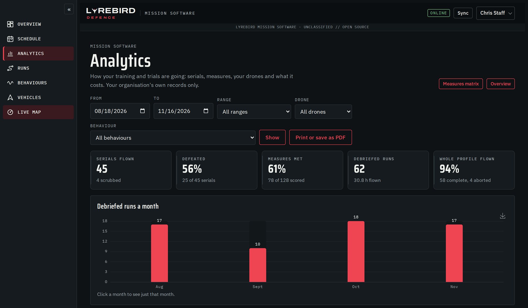
A scripted route tests whether your people or systems can hit a target. A real adversary adapts. Lyrebird mission autonomy brings together what we know about how adversaries use drones, their tactics, techniques and procedures (TTPs), with the objectives, measures and conditions your people or systems are being assessed on, across layered counter-UAS, offensive and defensive operations. A Lyrebird then reacts the way the real threat would, while every run still produces evidence against the objective it was planned for.
How threat drones search, approach, hold off, mass and attack, built from open-source reporting and kept current as tactics change.
Every decision is made inside the objective, measures and conditions being tested, so an adaptive run is still a fair, scored test.
Fenced to your range, always turns away before its target, and an operator can take control at any time.
Lyrebirds are built to fly these plans, and to be shot at. See how each one fits, or start from your job in Solutions.
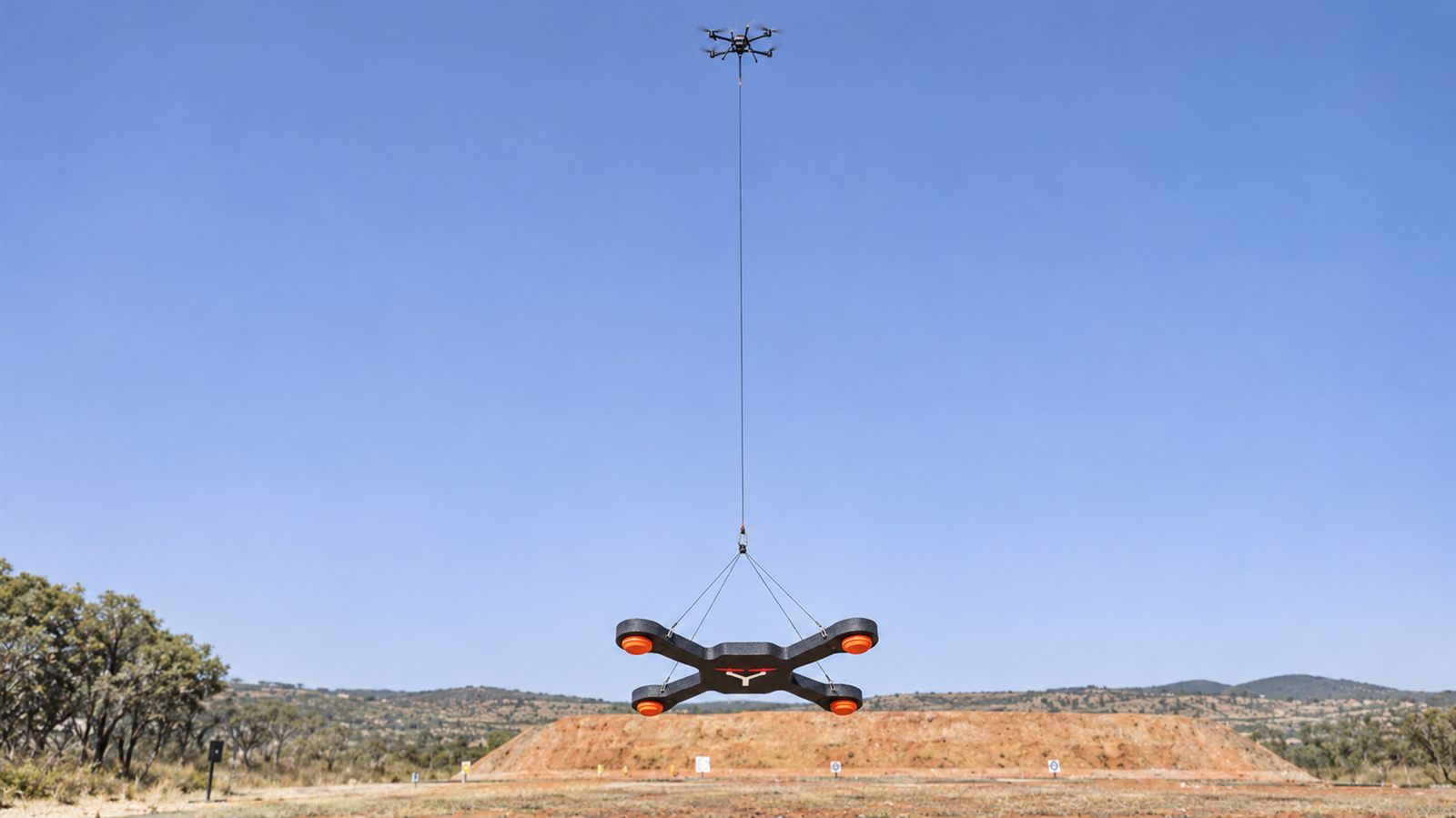
A quadcopter-shaped target carried under a drone, with clay discs that shatter when hit.
See the UST-1 →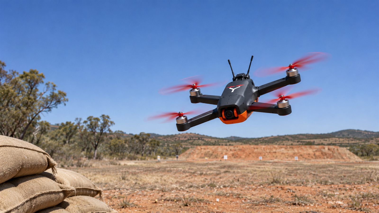
Flies a real FPV attack run and dive at your position, the same way every serial.
See the FPV-1 →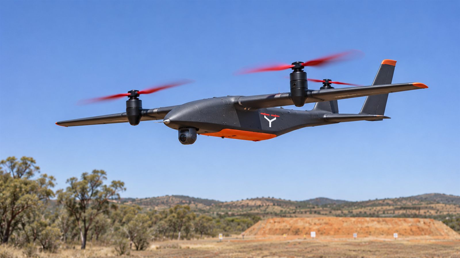
Takes off like a quadcopter, flies like a plane, and watches, finds and cues attacks.
See the VTW-1 →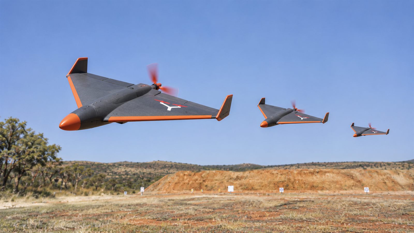
Flies the run in of a one-way attack drone, alone or in waves, then turns away.
See the OWA-1 →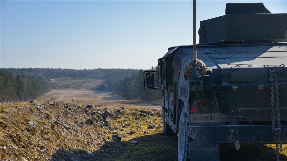 Photo: Spc. Israel Fernandez / U.S. Army National Guard (public domain), cropped
Tell us a little about your training or trials, and what you need to prove, and we'll set up a briefing.
Please don't send classified or sensitive site details by email.